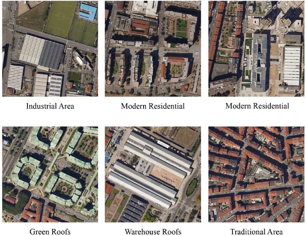
In the realm of remote sensing and urban planning, accurate building segmentation is a critical task that has long posed significant challenges. The ability to precisely identify and delineate buildings in aerial and satellite imagery is essential for applications ranging from disaster assessment to 3-D urban modeling and monitoring urban transformations. However, the vast geographical coverage, dense building clusters, and complex roof geometries have made this task particularly daunting. Enter YOLOSAM, a groundbreaking framework developed by Musarat Hussain and colleagues at the Shenzhen Institutes of Advanced Technology (SIAT), Chinese Academy of Sciences, which promises to revolutionize the field.
YOLOSAM, short for YOLO-guided Segment Anything Model, is designed to address the limitations of the Segment Anything Model (SAM) in the context of building segmentation. SAM, while promising, relies on interactive input cues and struggles with fine edge details and integrating global semantic context with local visual features. This often results in poor boundary detection and fragmented masks, limiting its effectiveness in fully automated, end-to-end building segmentation.
To overcome these challenges, YOLOSAM introduces three innovative components: an Automatic Prompt Generator based on YOLOv8, a High-Quality Token, and a Global-Local Feature Fusion module. The Automatic Prompt Generator eliminates the need for manual input by automatically producing bounding box prompts. The High-Quality Token improves edge fidelity and mask coherence by refining SAM’s decoder representations. Meanwhile, the Global-Local Feature Fusion module enhances segmentation quality by fusing semantic context from deeper layers with fine edge details from earlier stages of SAM’s frozen architecture.
“What sets YOLOSAM apart is its ability to preserve SAM’s pretrained generalization ability while significantly improving segmentation accuracy,” explains Musarat Hussain, the lead author of the study. “By freezing the original encoder and decoder and only training the lightweight modules, we ensure that the model remains efficient and effective.”
The results speak for themselves. Experimental results demonstrate a significant improvement in segmentation accuracy, with mIoU increasing to 76.7% on the WHU building segmentation dataset, 69.1% on the Vaihingen building dataset, and 73.2% on the Inria Aerial Image Labeling dataset, compared to SAM’s “segment everything” mode. The model also significantly outperforms both classical deep learning baselines and other SAM-based frameworks.
The implications of this research are far-reaching, particularly for the energy sector. Accurate building segmentation is crucial for urban planning and infrastructure development, which are key components of smart city initiatives. By providing precise and automated building segmentation, YOLOSAM can aid in the efficient allocation of resources, the optimization of energy distribution networks, and the development of sustainable urban environments.
Moreover, the ability to monitor urban transformations and assess disaster damage in real-time can significantly enhance emergency response efforts and long-term urban planning strategies. This can lead to more resilient and sustainable cities, better prepared to withstand the impacts of climate change and natural disasters.
As the world continues to urbanize, the demand for accurate and efficient building segmentation tools will only grow. YOLOSAM represents a significant step forward in meeting this demand, offering a powerful and versatile solution for a wide range of applications. The research, published in the IEEE Journal of Selected Topics in Applied Earth Observations and Remote Sensing (translated to English as “IEEE Journal of Selected Topics in Applied Earth Observations and Remote Sensing”), sets a new benchmark in the field and paves the way for future developments in automated building segmentation.
In the words of Musarat Hussain, “This is just the beginning. We are excited to see how YOLOSAM will be applied in real-world scenarios and the impact it will have on urban planning and disaster management.” As the technology continues to evolve, the potential for innovation and improvement is vast, promising a future where cities are smarter, safer, and more sustainable.