In the heart of Sumatra, where the earth’s tectonic plates dance a dangerous tango, a groundbreaking study is set to redefine how we build and plan for the future. Bengkulu Province, a coastal region known for its seismic vulnerability, is the stage for this innovative research led by Melly Zuhadjar Putri from Universitas Bengkulu. The study, published in the Journal Innovation of Civil Engineering (Jurnal Inovasi Teknik Sipil), is a beacon of hope for resilient infrastructure planning in earthquake-prone areas.
Imagine a map, not just of roads and rivers, but of the very earth beneath our feet. This is what Putri and her team have created—a detailed, two-dimensional geospatial model that reveals the hidden secrets of the soil. By analyzing key geotechnical parameters like the Plasticity Index (PI) and water content (ѡ), the researchers have uncovered crucial insights that could shape the future of construction and urban planning in seismically active regions.
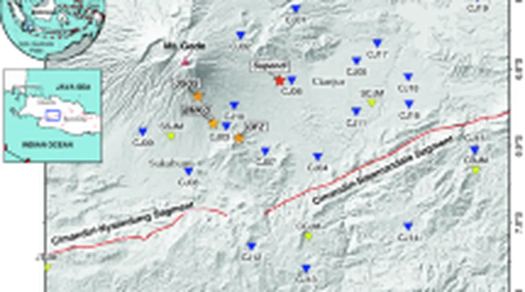
The study utilized 65 geotechnical observation points to generate detailed maps using the Inverse Distance Weighting (IDW) method, delving as deep as 30 meters into the earth. “This method allows us to overcome the challenges of limited data,” explains Putri, “by integrating empirical correlations with statistical and spatial analyses.” The results are nothing short of revelatory, highlighting distinct geotechnical variations across different soil layers and administrative regions.
For the energy sector, the implications are profound. Understanding the soil’s behavior is crucial for the stable construction of infrastructure, including power plants, pipelines, and renewable energy installations. “Our findings reveal zones with high liquefaction potential,” says Putri. “This information is invaluable for engineers and urban planners, enabling them to design site-specific construction strategies that can withstand the forces of nature.”
The study not only fills a critical gap in the current literature but also offers a replicable framework for other coastal regions with similar geological contexts. As we face the growing threat of earthquakes and other natural disasters, this research provides a vital tool for building resilient communities and infrastructure.
In a world where climate change and natural disasters are becoming increasingly unpredictable, Putri’s work is a testament to the power of science and technology in shaping a safer future. “This research is a stepping stone,” she says. “It opens up new avenues for further exploration and application in the field of geotechnical engineering.”
As we look to the future, the lessons from Bengkulu could echo far and wide, guiding us towards a world where infrastructure is not just built, but built to last. The journey has just begun, and the potential is immense.