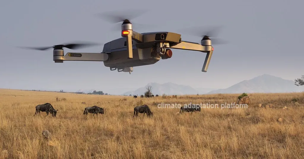
In the rugged, remote landscapes where soil and water conservation is critical, a new technological alliance is taking flight, promising to revolutionize how we monitor and maintain these vital sites. Researchers, led by Nai-Hsin Pan from the Department of Civil and Construction Engineering, have combined the agility of unmanned aerial vehicles (UAVs) with the analytical prowess of deep learning to create a system that could redefine efficiency and safety in mountainous conservation areas.
Traditional inspection methods in these challenging terrains have long been plagued by accessibility issues, high labor costs, and time-consuming processes. Pan and his team saw an opportunity to leverage technology to overcome these hurdles. “We wanted to create a system that could provide comprehensive coverage quickly and accurately, reducing the need for human inspectors to navigate dangerous and inaccessible terrains,” Pan explained.
The solution? A sophisticated integration of UAVs and deep learning. The UAVs capture high-resolution aerial images, offering extensive coverage and overcoming the constraints imposed by the terrain. These images are then analyzed by a deep learning model based on the ResNet-50 architecture, which automatically classifies anomalies and even offers maintenance recommendations. The model’s accuracy is impressive, achieving a remarkable 0.966 with regularization methods and 0.959 using neural networks.
But the innovation doesn’t stop there. The researchers also employed the hue, saturation, and brightness (HSB) color space for anomalous area estimation, achieving precise segmentation with a mean error rate of approximately 7.1%. This level of precision was verified against 3D model-based ground truth, ensuring the reliability of the system.
The implications for the energy sector are significant. Mountainous regions often host critical energy infrastructure, from hydroelectric plants to transmission lines. Ensuring the stability of these sites is paramount, and this new system offers a robust and reliable solution for anomaly detection and analysis. By reducing human labor costs and improving inspection efficiency, it paves the way for more sustainable and cost-effective maintenance strategies.
Pan’s research, published in the journal *Advances in Civil Engineering* (translated as “Advances in Civil Engineering”), not only enhances slope failure analysis but also provides a blueprint for future developments in the field. As the technology continues to evolve, we can expect to see even more sophisticated systems that integrate UAVs and deep learning, offering unprecedented levels of accuracy and efficiency in monitoring and maintaining critical infrastructure.
This research is a testament to the power of innovation in addressing long-standing challenges. By harnessing the latest advancements in technology, Pan and his team have developed a system that promises to shape the future of soil and water conservation management, offering practical insights and innovative methodologies that could redefine industry standards.

