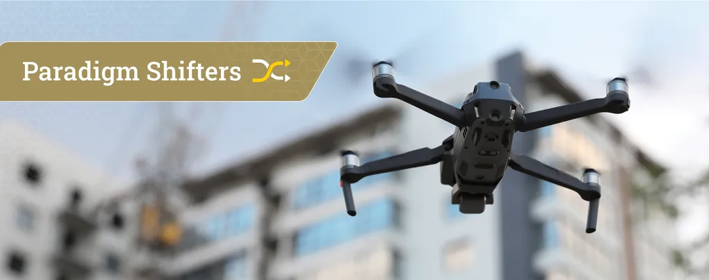
In the ever-evolving landscape of construction technology, a groundbreaking development has emerged that promises to revolutionize how we maintain and update digital representations of buildings. Researchers at the University of British Columbia have introduced the ICON (Intelligent CONstruction) drone, an autonomous unmanned aerial vehicle (UAV) designed to navigate indoor environments and generate detailed 3D reconstructions. This innovation, detailed in a recent study published in *Data-Centric Engineering* (translated as *数据驱动的工程*), could significantly impact the energy sector by streamlining Building Information Modeling (BIM) and digital twin updates.
The ICON drone, developed by lead author Hao Xuan Zhang and his team, is equipped with a suite of advanced technologies, including a visual-inertial odometer, a frontier-based exploration system, and a depth-regularized planar-based Gaussian splatting reconstruction algorithm. “Our goal was to create a system that could autonomously explore indoor spaces and produce accurate, semantically rich 3D models,” Zhang explains. The drone’s ability to navigate complex environments and generate high-quality point clouds with building component and material labels is a game-changer for the industry.
The implications for the energy sector are profound. Accurate and up-to-date 3D models of buildings are crucial for energy efficiency assessments, retrofitting projects, and maintenance planning. “By automating the data collection process, we can reduce the time and cost associated with keeping digital twins current,” Zhang notes. This efficiency could lead to more informed decision-making and optimized energy management strategies.
The ICON drone’s performance was tested in three different scenes within an educational building: a classroom, a lobby, and a lounge. The results were impressive, with the drone successfully exploring all three environments and generating point clouds that closely matched those collected using high-fidelity terrestrial LiDAR scanners. The drone’s ability to label point clouds with building components and materials further enhances its utility, providing detailed information that can be directly integrated into BIM systems.
The research also highlights the potential for broader applications. “Our method outperforms previous approaches in 3D reconstruction quality, which opens up new possibilities for various industries beyond construction,” Zhang says. The energy sector, in particular, stands to benefit from more accurate and efficient building modeling, leading to improved energy performance and reduced operational costs.
As the construction industry continues to embrace digital transformation, innovations like the ICON drone are poised to play a pivotal role. By automating the collection of detailed 3D data, this technology not only saves time and resources but also enhances the accuracy and reliability of digital twins. The research published in *Data-Centric Engineering* underscores the importance of integrating advanced technologies into traditional workflows, paving the way for a more efficient and sustainable future.