In the rapidly evolving world of digital twins and smart cities, the accuracy of geospatial data is paramount. A recent study led by P. Mohammed from the School of Surveying and Construction Innovation at Technological University Dublin, Ireland, sheds light on a critical aspect of this technology: the georeferencing accuracy of Building Information Modelling (BIM) and 3D Geographic Information Systems (GIS) models. Published in the ‘Annals of the Photogrammetry, Remote Sensing and Spatial Information Sciences’ (a journal of the International Society for Photogrammetry and Remote Sensing), the research offers a practical guideline for enhancing the spatial accuracy of 3D models in the digital twin environment, with significant implications for the energy sector.
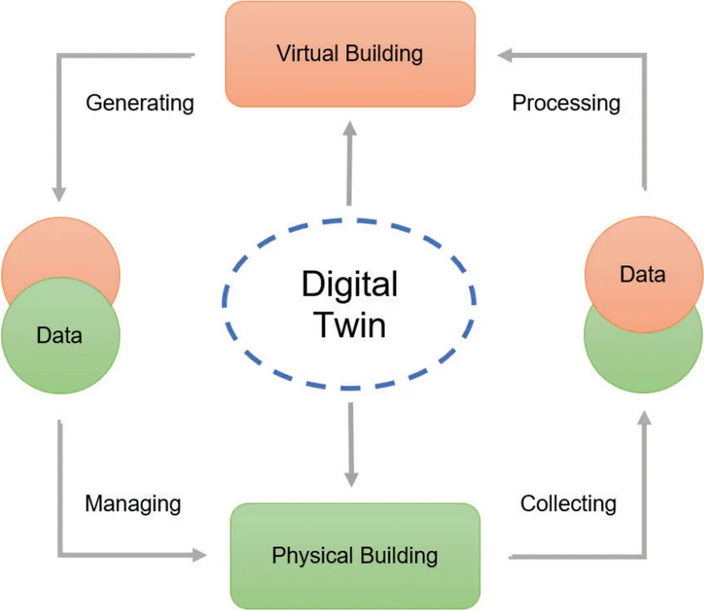
The integration of BIM and GIS through open standard models like Industry Foundation Classes (IFC) and City Geography Markup Language (CityGML) is fundamental to creating comprehensive digital twins for built environment projects. However, accurate georeferencing of these models is essential for reliable geospatial analyses, particularly in projects that employ a custom Coordinate Reference System (CRS) or are affected by significant distortion due to map projection.
Mohammed’s study addresses a notable gap in existing research: the assignment of custom CRSs to both IFC and CityGML models and the impact of BIM modelling and different georeferencing approaches on the final positional accuracy of the models. “While previous studies have touched upon georeferencing in the context of BIM-GIS data integration, limited attention has been given to the assignment of custom CRSs and the practical implications of different georeferencing approaches,” Mohammed explains.
The research proposes a methodology to enhance georeferencing accuracy through the assignment of custom CRS to both IFC and CityGML models. By practically examining how BIM modelling practices and georeferencing approaches impact the overall positional quality of the models, the study demonstrates the effectiveness of the proposed methodology in enhancing georeferencing accuracy.
For the energy sector, the implications are substantial. Accurate georeferencing is crucial for planning and managing energy infrastructure, from renewable energy projects to smart grids. Digital twins enable energy companies to simulate and optimize their assets in a virtual environment, reducing costs and improving efficiency. However, the effectiveness of these digital twins depends on the accuracy of the underlying geospatial data.
As Mohammed notes, “Ensuring the spatial accuracy of 3D models is not just about improving data quality; it’s about enabling better decision-making and driving innovation in the energy sector.” The study’s findings offer a practical guideline for achieving this accuracy, paving the way for more reliable and effective digital twins in the built environment.
The research also highlights the importance of continued investment in geospatial technology and the development of open standards like IFC and CityGML. As digital twins become increasingly integral to the energy sector and other industries, the need for accurate, reliable geospatial data will only grow. Mohammed’s work provides a valuable contribution to this ongoing effort, offering insights and methodologies that will shape future developments in the field.
In an era where data is king, the accuracy of that data is paramount. Mohammed’s research serves as a reminder of the importance of georeferencing accuracy in the creation of digital twins and the broader implications for the energy sector and beyond. As we continue to innovate and integrate technology into our built environment, the need for precise, reliable geospatial data will only become more critical.