In the heart of Stuttgart, a city known for its blend of historical charm and modern innovation, a groundbreaking approach to subsurface data management is taking shape. Researchers, led by K. Pusacker from the Regierungspräsidium Freiburg’s State Authority for Geology, Mineral Resources and Mining (LGRB), are pioneering a new framework that could revolutionize how urban and geological data are integrated and utilized. This work, published in the ‘Annals of the Photogrammetry, Remote Sensing and Spatial Information Sciences’ (a publication of the International Society for Photogrammetry and Remote Sensing), is set to impact the energy sector and urban planning significantly.
The challenge at hand is monumental: how to manage and exchange vast amounts of data related to buildings, infrastructures, and geological structures in a way that fosters collaboration among specialists. Pusacker and his team have tackled this by developing a data model schema tailored specifically for urban and geological subsurface models. “The existing data model schemas can already manage various types of subsurface data,” Pusacker explains. “Our goal was to advance this by combining existing schemas to meet the requirements for data management in 3D voxel modeling of the subsurface.”
The implications for the energy sector are profound. Accurate subsurface modeling is crucial for energy exploration and infrastructure development. By integrating geological and urban data, energy companies can make more informed decisions, reducing risks and optimizing resource extraction. “This framework allows for a more comprehensive understanding of the subsurface environment,” Pusacker notes. “It’s not just about what’s beneath the ground; it’s about how it interacts with the urban landscape above.”
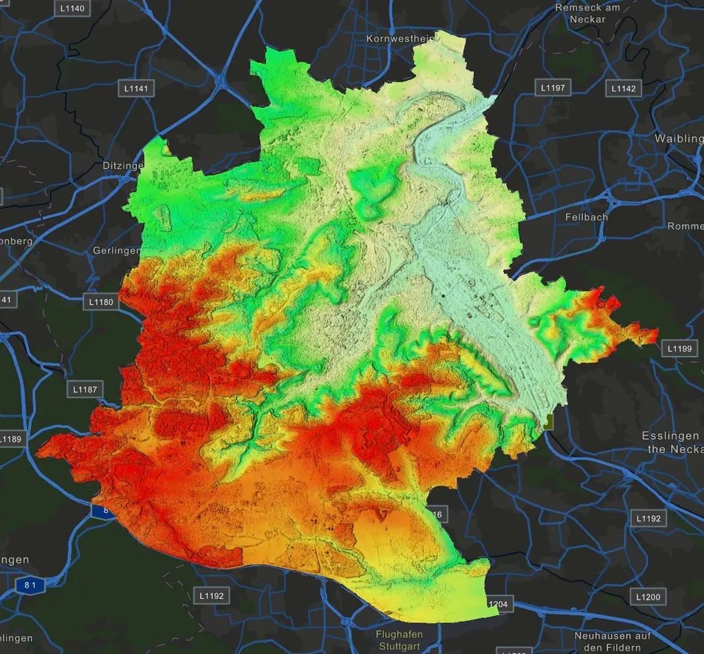
The case study in Stuttgart serves as a testament to the framework’s potential. By applying the data model using urban and geological model elements, the researchers have demonstrated how construction, integration, and visualization of these elements can be seamlessly managed. This holistic approach could pave the way for smarter urban planning and more efficient energy projects.
As the world grapples with the challenges of urbanization and sustainable energy, this research offers a beacon of hope. By bridging the gap between urban and geological data, Pusacker and his team are not just advancing technology; they are shaping the future of our cities and the energy sector. The framework developed in Stuttgart could soon become a blueprint for cities worldwide, ensuring that subsurface data is not just managed but leveraged for the benefit of all.