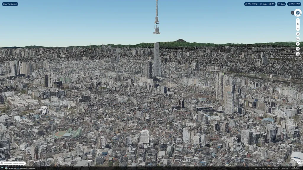
In the heart of Tokyo, where the urban landscape is dense and the summers are sweltering, a groundbreaking approach to urban heat management is emerging. Researchers, led by Q. Zeng from the School of Building Construction at the Georgia Institute of Technology, are leveraging the power of digital twins to enhance resilience against heatwaves in Nihonbashi, a bustling commercial district. This innovative strategy, detailed in a recent study published in ‘The International Archives of the Photogrammetry, Remote Sensing and Spatial Information Sciences’ (translated as ‘International Archives of Photogrammetry, Remote Sensing and Spatial Information Sciences’), promises to revolutionize how cities manage heat risks and could have significant implications for the energy sector.
Nihonbashi, known for its high population density and critical infrastructure, faces increasing threats from heatwaves. Traditional disaster management plans often lack the dynamic, real-time response mechanisms necessary to address the uneven vulnerability across neighborhoods. Zeng and his team are tackling this challenge head-on by creating an urban digital twin—a dynamic virtual replica of the city that integrates real-time data to simulate and optimize urban systems.
The research employs a 4-step scenario planning model: descriptive, evaluative, predictive, and prescriptive. This model integrates real-time heat risk data, resilience hub occupancy, and social demographic information to optimize access to cool spaces and transportation routes. By leveraging open-source tools like Network X, OSMnx, and Getis-Ord Gi*, the framework identifies high-risk zones such as office headquarters and subway stations, pinpointing vulnerability hotspots and simulating urban network performance during heatwaves.
One of the standout achievements of this study is the development of a heat scenario classifier that boasts a 96.7% accuracy rate in predicting heat risk levels. “This level of precision is crucial for effective urban planning and disaster response,” Zeng explains. “It allows us to anticipate heat risks with a high degree of confidence, enabling proactive measures rather than reactive ones.”
Built on ArcGIS Experience Builder, the platform enables dynamic rerouting to less occupied shelters and shaded pedestrian pathways, prioritizing vulnerable populations, particularly the elderly. This equity-focused approach sets the research apart from static GIS-based simulations. “Our goal is to ensure that everyone, especially the most vulnerable, has access to safe and cool spaces during extreme heat events,” Zeng adds.
The study’s unique contributions include real-time data integration, high-accuracy heat prediction, and an equity-focused approach. These innovations offer a transformative model for urban heat management that is adaptable to other cities. Data from OpenStreetMap, PLATEAU, and e-Stat ensure the reliability of the framework, although real-time data access poses challenges.
For the energy sector, the implications are significant. Enhanced urban heat management can reduce the demand for energy-intensive cooling solutions, leading to more sustainable and cost-effective energy use. By optimizing the distribution of cool spaces and transportation routes, cities can minimize energy consumption and reduce carbon footprints.
Stakeholders, including planners, emergency responders, and residents, can engage via the interactive platform to simulate scenarios and enhance resilience. This scalable, open-source framework offers a blueprint for other cities to follow, potentially reshaping urban planning and disaster management on a global scale.
As cities around the world grapple with the increasing frequency and intensity of heatwaves, the research led by Q. Zeng provides a beacon of hope. By harnessing the power of digital twins and real-time data, urban environments can become more resilient, equitable, and sustainable. The future of urban heat management is here, and it is digital.