In the heart of eastern Mexico, a novel approach to environmental impact assessment is taking root, quite literally. Researchers, led by K. D. Rodríguez González from the Faculty of Civil Engineering at Universidad Autónoma de Nuevo León, are leveraging drone technology to revolutionize how we survey and understand tree populations in dam construction zones. Their work, published in the ISPRS Annals of the Photogrammetry, Remote Sensing and Spatial Information Sciences (which translates to the Annals of Photogrammetry, Remote Sensing and Spatial Information Sciences), is not just about trees; it’s about reshaping how the energy sector approaches environmental stewardship.
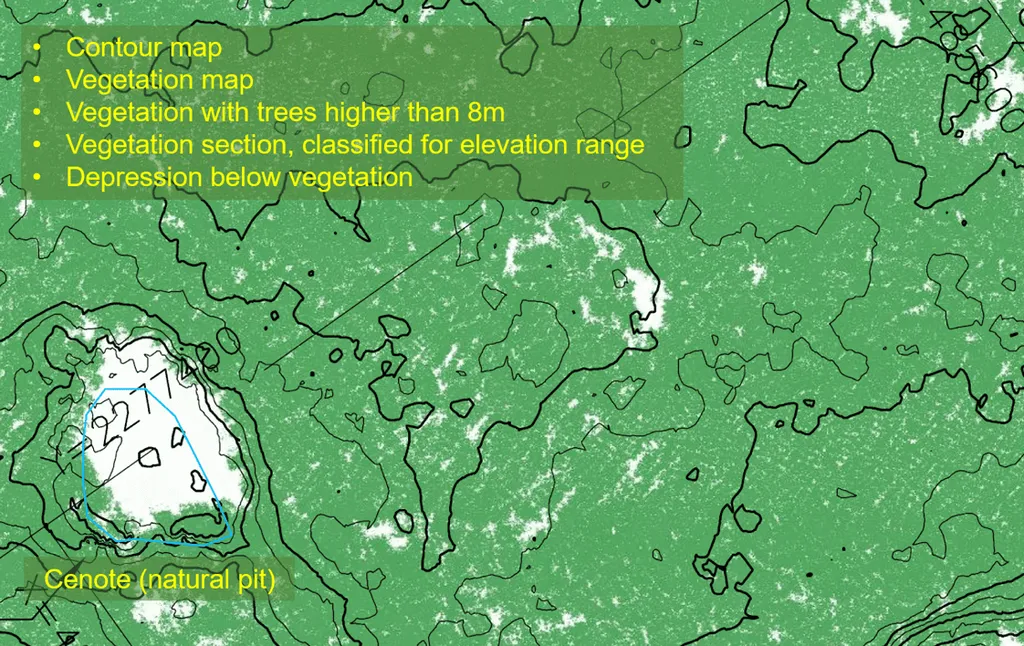
The traditional Environmental Impact Manifestation (MIA) process in Mexico is a comprehensive but somewhat outdated method for assessing the environmental impacts of dam construction. It’s a crucial step, but it’s often limited by the tools at its disposal. Enter Rodríguez González and their team, who have employed a DJI Matrice 350 drone to collect high-resolution imagery of a closed-canopy woodland in Linares. Over 16 missions during the summer of 2024, they gathered data to build a detailed canopy height model, combining UAV-extracted point clouds with LiDAR bare earth surface data.
The results are impressive. By using a variable-sized local maxima filter to delineate treetops and inverted watershed segmentation to outline tree crowns, the team has created a tree inventory that includes thousands of trees, complete with location, height, and crown polygon data. This level of detail is a game-changer. “This new approach allows us to establish a more comprehensive understanding of the vegetation in the area,” Rodríguez González explains. “It’s not just about counting trees; it’s about understanding their distribution, their health, and their impact on the ecosystem.”
So, what does this mean for the energy sector? For starters, it means more accurate environmental impact assessments. Dams, while crucial for energy production, can have significant environmental impacts. By having a detailed understanding of the vegetation in the area, energy companies can make more informed decisions about where and how to build, minimizing their environmental footprint.
But the implications go beyond just dam construction. This technology can be applied to any large-scale infrastructure project, from wind farms to transmission lines. It can help energy companies comply with environmental regulations more effectively and efficiently. “This is about more than just meeting regulatory requirements,” says Rodríguez González. “It’s about being better stewards of the environment. It’s about making sure that as we develop our energy infrastructure, we’re also protecting the natural world.”
The research also opens up new avenues for future developments. As drone technology continues to advance, so too will our ability to survey and understand our environment. We can expect to see more detailed and accurate environmental impact assessments, leading to better decision-making and more sustainable development.
In the end, this research is a testament to the power of innovation. By combining cutting-edge technology with a deep understanding of environmental science, Rodríguez González and their team are paving the way for a more sustainable future. And in doing so, they’re not just shaping the future of dam construction; they’re shaping the future of the energy sector as a whole.