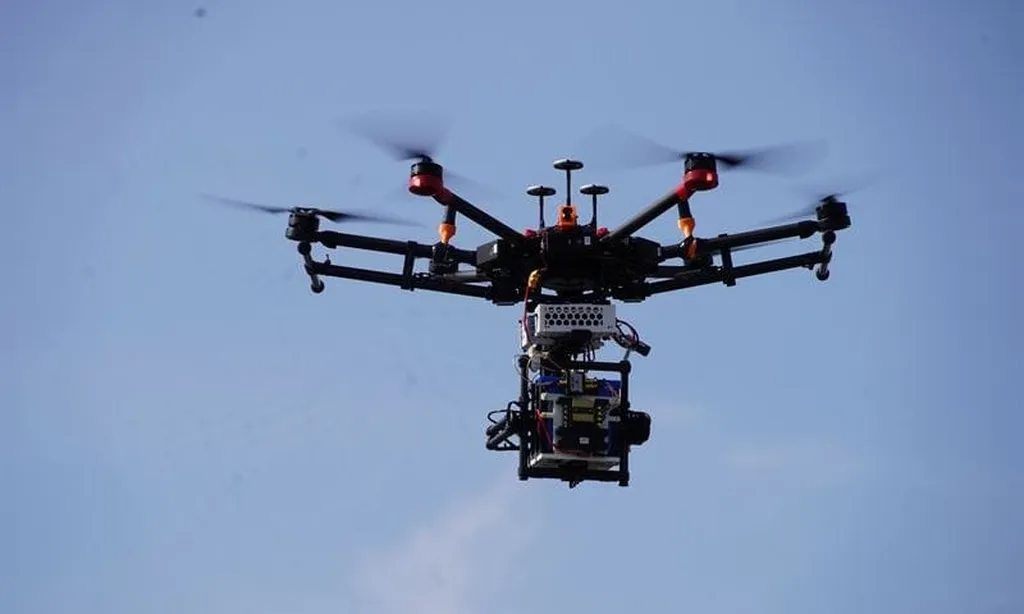
In the rapidly evolving landscape of urban development and smart city initiatives, a groundbreaking framework is poised to revolutionize how we map and understand our environments. Researchers, led by H. Cai from the College of Civil and Transportation Engineering at Shenzhen University, have introduced a novel UAV-based collaborative mapping system that promises to transform urban planning and energy sector applications. This innovative approach leverages the untapped potential of Unmanned Aerial Vehicles (UAVs) to gather diverse sensor data, offering a scalable solution for real-time urban modeling.
The traditional methods of urban 3D modeling often face significant challenges, including delays in updates and scalability issues. Cai’s research addresses these pain points by integrating heterogeneous data from multiple UAVs, including RGB images, 3D point clouds, and inertial measurements. This collaborative framework employs advanced visual recognition and optical character recognition (OCR) for semantic feature extraction, ensuring that the data collected is not just comprehensive but also contextually rich.
One of the standout features of this framework is its ability to handle sparse LiDAR data in indoor settings. By employing a temporal alignment mechanism to generate synchronized keyframes, the system enhances data coherence, making it more reliable and accurate. “This temporal alignment is crucial for maintaining the integrity of the data, especially in complex indoor environments where LiDAR data can be sparse,” explains Cai. The integration of camera-LiDAR calibration, cross-modal registration, and semantic-guided point cloud stitching further boosts the system’s robustness, ensuring that the final maps are both precise and detailed.
The experimental results are nothing short of impressive. Feature-guided point cloud registration, bolstered by semantic alignment, surpasses traditional methods, achieving efficient mapping that is scalable and adaptable to real-time urban planning needs. This breakthrough has significant implications for the energy sector, where accurate and up-to-date mapping is crucial for infrastructure development, renewable energy planning, and smart grid management.
As cities around the world strive to become smarter and more sustainable, the ability to quickly and accurately map urban environments becomes increasingly important. Cai’s research, published in the ‘ISPRS Annals of the Photogrammetry, Remote Sensing and Spatial Information Sciences’ (Annals of the International Society for Photogrammetry and Remote Sensing), offers a glimpse into the future of urban planning. The framework’s potential to enhance real-time decision-making and improve the efficiency of urban development projects makes it a valuable tool for urban planners, engineers, and energy sector professionals alike.
The implications of this research extend beyond immediate applications. As the technology matures, it could pave the way for more advanced and integrated systems that leverage AI and machine learning to further enhance mapping accuracy and efficiency. This could lead to more sustainable and resilient cities, better equipped to handle the challenges of urbanization and climate change.
In the words of Cai, “This framework is not just about mapping; it’s about creating a smarter, more connected urban environment.” As we look to the future, the potential for UAV-based collaborative mapping to shape the way we build and manage our cities is both exciting and profound. The energy sector, in particular, stands to benefit greatly from this technological advancement, as accurate and timely data becomes the cornerstone of efficient and sustainable energy solutions.