In the vast, sunbaked expanse of the Qatar Peninsula, an invisible force is at play, one that could significantly impact the region’s energy sector and infrastructure development. A recent study, led by V. Y. Ulyanov of the Ukrainian State University of Science and Technologies, has shed new light on the radon activity of tectonic faults beneath the peninsula, offering valuable insights for construction and seismic monitoring.
The research, published in the journal *Nauka ta progres transportu* (translated as *Science and Transport Progress*), delves into archival data of radon measurements in groundwater, providing a modern evaluation of radon activity in identified tectonic faults. “We’ve applied an innovative technique to identify the activity rate of tectonic faults in the rock foundation under the geological conditions of the Qatar Peninsula,” Ulyanov explains. This technique, based on third-party measurements of radon in groundwater and using a universal evaluation scale, has allowed the team to suggest the orientation of tectonic fault directions in the northern and eastern parts of the peninsula.
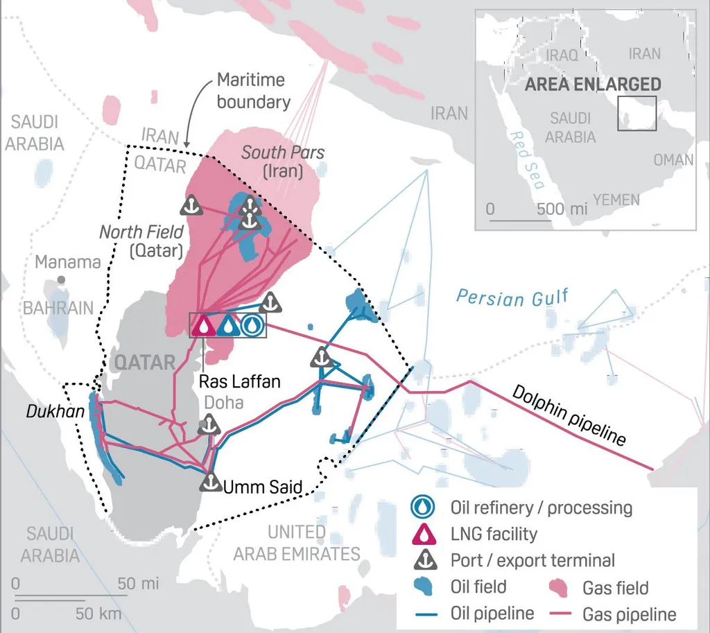
The findings are not just of academic interest. They have significant commercial implications, particularly for the energy sector. “This implies increased safety during the construction and operation of various facilities, including a high degree of responsibility, particularly pipeline systems and transport communications that are important for the country’s economy,” Ulyanov notes. Understanding the radon activity and the magnitude of movement along these faults can help in the planning and construction of critical infrastructure, reducing the risk of damage and ensuring the safety of operations.
The research also extends its reach to the western part of the UAE, adjacent to the Qatar Peninsula, where the Barakah Nuclear Power Plant (BNPP) is located. The team suggests a similar assumption about tectonic faults in this area, based on the geological and tectonic similarities of the region. This could have profound implications for the safety and stability of the nuclear power plant and other energy infrastructure in the area.
The practical value of this research is immense. The technique can be used in seismic monitoring for construction sites and in adjacent territories of other countries where similar explorations have not been conducted before. It offers a new tool for ensuring the safety and stability of infrastructure, particularly in regions with similar geological conditions.
As we look to the future, this research could shape the way we approach construction and seismic monitoring in the energy sector. It underscores the importance of understanding the geological conditions beneath our feet, and how this knowledge can be used to build safer, more stable infrastructure. In a world where energy demands are increasing and infrastructure development is accelerating, this research offers a timely and valuable contribution.