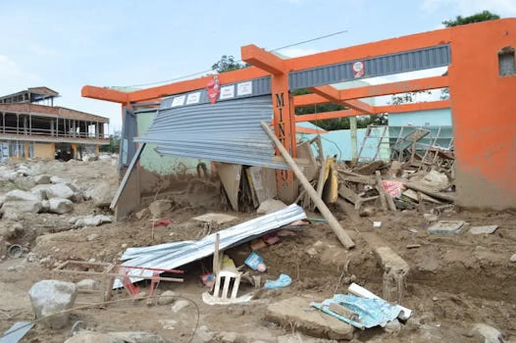
In the heart of China’s economic powerhouse, the Guangdong-Hong Kong-Macao Greater Bay Area, a pressing challenge looms: flood risk. As urbanization accelerates, so does the vulnerability of these bustling cities to flood disasters. Enter S. Liu, a researcher from the School of Geomatics and Urban Spatial Information at Beijing University of Civil Engineering and Architecture, who has pioneered a novel approach to assess and mitigate this risk.
Liu’s study, recently published in *The International Archives of the Photogrammetry, Remote Sensing and Spatial Information Sciences* (translated as “International Archives of Photogrammetry, Remote Sensing and Spatial Information Sciences”), employs a multidimensional dynamic data approach to evaluate flood risk. By collecting 13 types of indicator data and utilizing the Analytic Hierarchy Process-Entropy Weight (AHP-EW) combined weighting method, Liu has constructed a comprehensive risk assessment system encompassing four critical dimensions: hazard, exposure, vulnerability, and adaptability.
The results are striking. The regional risk distribution reveals a pattern of “higher in central urban areas and lower in surrounding mountainous regions.” Guangzhou, Shenzhen, and Hong Kong emerge as high-risk zones, while the southern parts of Dongguan, Foshan, and Zhongshan are classified as medium-to-high risk areas. Conversely, Qingyuan and Shaoguan show lower risk levels. Liu’s assessment aligns closely with historical disaster records from 2000 to 2023, underscoring the model’s applicability in rapidly urbanizing regions.
The implications for the energy sector are profound. As Liu explains, “Our model provides quantitative decision-making support for optimizing territorial space disaster prevention planning and urban resilience construction.” This means that energy infrastructure, often concentrated in urban areas, can be better protected and more resiliently designed. By identifying high-risk zones, energy companies can prioritize investments in flood-resistant infrastructure, ensuring uninterrupted service and minimizing economic losses.
Moreover, the study’s findings can guide urban planners and policymakers in developing strategies to enhance urban resilience. As Liu notes, “The model not only confirms the applicability in rapidly urbanizing regions but also provides a tool for future urban planning.” This could lead to more sustainable and resilient cities, benefiting not just the energy sector but the broader economy.
The research also highlights the importance of integrating multiple data sources and advanced technologies in risk assessment. By leveraging GIS spatial analysis technology, Liu’s study demonstrates the power of data-driven decision-making in mitigating natural disasters. This approach can be replicated in other regions, providing valuable insights for global urban planning and disaster management.
In the face of climate change and increasing urbanization, Liu’s research offers a beacon of hope. By providing a robust framework for flood risk assessment, it paves the way for more resilient cities and a more sustainable future. As Liu aptly puts it, “Our study is a step towards building cities that can withstand the challenges of tomorrow.”

