In the heart of Morocco’s Tadla plain, a groundbreaking study is unlocking new ways to tackle soil salinity, a silent menace that stifles agricultural productivity and threatens land sustainability. Abdelwahed Chaaou, a researcher at the International Water Research Institute under Mohammed VI Polytechnic University (UM6P) in Ben Guerir, has led a team that combined machine learning (ML) algorithms with satellite-derived data to map soil salinity with unprecedented accuracy. Their work, published in the journal *Frontiers in Soil Science* (translated to *Frontiers in Soil Science*), offers a promising approach to managing irrigated agroecosystems, with implications that resonate far beyond the fields of Morocco.
Soil salinity is a global challenge, particularly in irrigated areas where excessive evaporation can leave behind salt deposits that inhibit plant growth. Traditional methods of monitoring soil salinity are often labor-intensive and limited in scope. However, remote sensing technology offers a way to collect data over large areas, and when paired with advanced modeling approaches, it can provide a powerful tool for land management.
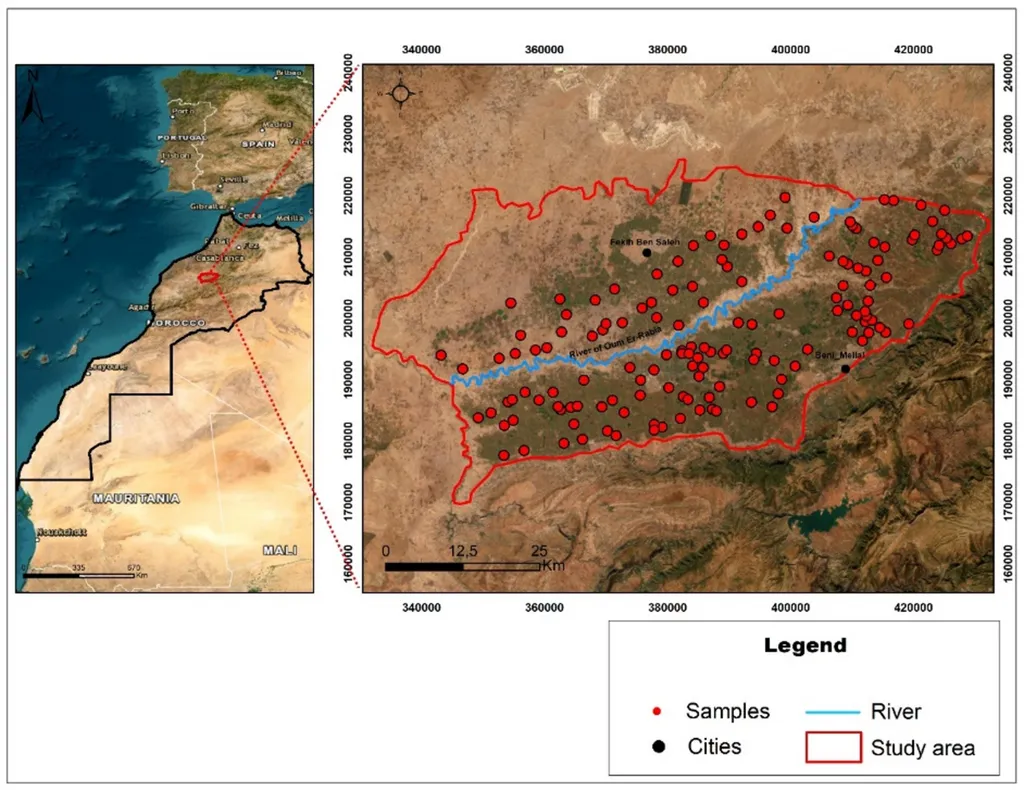
Chaaou and his team focused on the Béni Amir Sub-perimeter of the Tadla plain, a region characterized by significant salinity variability. They collected 43 topsoil samples and resampled them to 144 for model training and testing. Using data from Landsat-8 OLI, they derived various predictor variables, including salinity indices, intensity indices, brightness index, land degradation index, and reflectance values of selected spectral bands. To address multicollinearity, these variables were standardized and transformed using Principal Component Analysis (PCA).
The team tested four ML algorithms: Random Forest (RF), K-Nearest Neighbors (KNN), Support Vector Regressor (SVR), and Multi-Layer Perceptron (MLP). The results were striking. “The KNN algorithm achieved the highest accuracy, with a mean coefficient of determination (R²) of 0.75 and a Root Mean Square Error (RMSE) of 0.61 dS/m,” Chaaou explained. This level of precision is a game-changer for agricultural planning and water management.
The resulting maps revealed a clear pattern: a southwestward increase in salinity, following the regional hydraulic flow. The KNN model classified 49% of the area as moderately saline, 22% as slightly saline, and 20% as non-saline. The strongly and extremely saline classes covered 8.4% and 0.6%, respectively. While RF, SVR, and MLP showed comparable trends, the consistency across different models underscores the reliability of the approach.
So, what does this mean for the future of agriculture and land management? The integration of satellite-derived data with machine learning algorithms offers a scalable and cost-effective solution for monitoring soil salinity. This approach can be replicated in other regions, providing valuable insights for farmers, policymakers, and researchers alike. As Chaaou noted, “This study demonstrates that combining satellite-derived data with ML enables a reliable assessment of soil salinity, supporting the management of irrigated agroecosystems.”
The implications extend beyond agriculture. In the energy sector, understanding soil conditions is crucial for the development of bioenergy crops and the sustainable management of land resources. By providing accurate and timely data on soil salinity, this research can inform decisions that enhance productivity and sustainability, ultimately contributing to a more resilient and efficient energy sector.
As we look to the future, the fusion of remote sensing and machine learning holds immense potential. It’s not just about mapping soil salinity; it’s about empowering communities with the tools they need to thrive in an increasingly challenging environment. Chaaou’s work is a testament to the power of innovation and collaboration, paving the way for a more sustainable and productive future.