In the bustling metropolis of Shenzhen, China, a groundbreaking study is shedding new light on the challenges of urban infrastructure development. Dr. M. Mo, a researcher from the College of Civil and Transportation Engineering at Shenzhen University, has pioneered a novel approach to monitor ground subsidence caused by subway tunnel construction. The study, published in the International Archives of the Photogrammetry, Remote Sensing and Spatial Information Sciences, translates to “The International Archives of Photogrammetry, Remote Sensing and Spatial Information Sciences” in English, offers a promising solution for ensuring the safety of surrounding infrastructures during such projects.
The excavation process of tunneling can sometimes lead to safety hazards such as ground subsidence and cracks in nearby buildings and roads. Traditional monitoring methods, while effective, often lack the flexibility and resolution needed for real-time, high-precision data. Enter Dr. Mo’s innovative solution: unmanned aerial vehicles (UAVs) equipped with miniature synthetic aperture radar (SAR). “UAV-based remote sensing platforms offer significant advantages, including flexible deployment, high resolution, and short revisit time,” Dr. Mo explains. “This makes them an effective tool for studying ground subsidence associated with construction.”
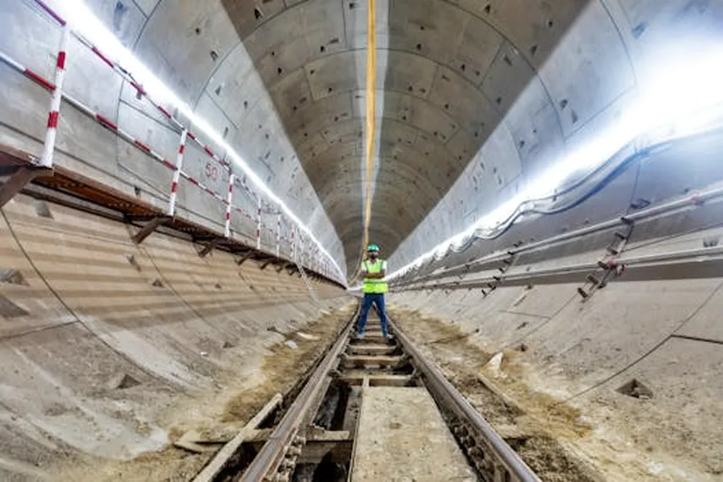
The study focused on the area along Longcheng Avenue in Shenzhen’s Longgang District, where subway construction was underway. Using a UAV-mounted miniSAR, Dr. Mo and his team employed the differential synthetic aperture radar interferometry (DInSAR) method to monitor surface deformation. The results were striking: deformation in the anomalous area ranged from -2.67 cm to 1.05 cm, demonstrating the method’s ability to detect even subtle changes in the ground surface.
To ensure the accuracy of their findings, the researchers cross-validated their results using persistent scatterers interferometry (PSI). The consistency between the two methods underscores the reliability of UAV-SAR technology for monitoring ground deformation.
The implications of this research are far-reaching, particularly for the energy sector. As urbanization continues to accelerate, the demand for underground infrastructure such as subways, tunnels, and pipelines will only grow. Ensuring the safety and stability of these projects is crucial, not only for the immediate surroundings but also for the broader urban environment. “Our study demonstrates that UAV-SAR can effectively monitor deformation associated with underground constructions, such as tunneling and grouting,” Dr. Mo notes. “This technology has the potential to revolutionize the way we approach infrastructure development, making it safer and more efficient.”
The commercial impacts of this research are significant. By providing a cost-effective, high-resolution monitoring solution, UAV-SAR technology can help reduce the risk of costly accidents and delays during construction. This is particularly relevant for the energy sector, where the integrity of underground pipelines and other infrastructure is paramount. As cities around the world grapple with the challenges of rapid urbanization, Dr. Mo’s research offers a promising path forward, one that balances the need for development with the imperative of safety.
In the ever-evolving landscape of urban infrastructure, Dr. M. Mo’s work stands as a testament to the power of innovation. By harnessing the capabilities of UAV technology, he has opened new avenues for monitoring and mitigating the risks associated with underground construction. As the world continues to urbanize, the insights gleaned from this study will be invaluable, shaping the future of infrastructure development and ensuring the safety of our cities.