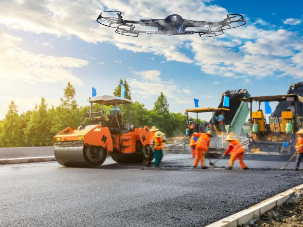
In the heart of Lampang Province, Thailand, a quiet revolution is taking place, one that could reshape how we approach road construction and maintenance. Pradit Jiagulprasert, a researcher affiliated with an undisclosed institution, has been pioneering the use of Unmanned Aerial Vehicles (UAVs) to measure earthwork volumes, offering a glimpse into a future where drones play a pivotal role in infrastructure development.
Traditionally, earthwork volume measurement has relied heavily on ground-based methods like total station surveys. However, these methods can be time-consuming and labor-intensive. Jiagulprasert’s research, published in the Rajamangala University of Technology Lanna (RMUTL) Engineering Journal, explores the potential of UAVs to streamline this process.
The study involved capturing aerial photographs using a UAV, which were then controlled using Ground Control Points (GCPs) measured with a Global Navigation Satellite System (GNSS) receiver. The UAV was flown at a height of 131 meters above the terrain, capturing a total of 35 images with an average ground sampling distance (GSD) of about 3.60 cm per pixel. The positional accuracy of these photographs was compared to check points, with displacements in the X, Y, and Z axes found to be 6.787 cm, 4.023 cm, and 5.048 cm, respectively.
“The horizontal and vertical positional accuracies are evaluated against the ASPRS standards,” Jiagulprasert explained. “The horizontal accuracy is within the class 12.5 cm, and the vertical accuracy is within the class 20 cm for vegetated areas.”
The earth volume calculation was performed using the Earthwork Reports method, employing the Surface-to-Surface calculation approach. The calculated earth volumes from the surveying camera and aerial photographs were determined to be 620.5 cu.m. and 570.7 cu.m. respectively, resulting in a difference of 49.8 cubic meters or approximately 8%.
This research is not just about improving accuracy; it’s about enhancing efficiency and reducing costs. “This study shows the application of unmanned aerial vehicles and GNSS-Based DEMs for evaluating earthwork volume which can be applied road construction and maintenance works,” Jiagulprasert stated.
The implications for the energy sector are significant. As the world shifts towards renewable energy, the need for efficient infrastructure development becomes paramount. UAVs could play a crucial role in this transition, offering a faster, more accurate, and cost-effective way to measure earthwork volumes.
Moreover, the use of UAVs could extend beyond road construction and maintenance. In the energy sector, UAVs could be used for monitoring power lines, inspecting wind turbines, and even assessing the environmental impact of energy projects. The potential applications are vast, and the benefits are clear.
As we look to the future, it’s clear that UAVs will play an increasingly important role in infrastructure development and maintenance. Pradit Jiagulprasert’s research is a significant step in this direction, offering a glimpse into a future where drones are an integral part of our infrastructure landscape. The research, published in the RMUTL Engineering Journal, is a testament to the power of innovation and the potential of UAVs to reshape our world.