In the heart of India’s Rajasthan state, the Aravali hills stand as a testament to nature’s grandeur, but they are under threat from urban development. A recent study led by S. Jalan from the Department of Geography at Mohanlal Sukhadia University in Udaipur has shed light on the extent of this issue and proposed a solution that could revolutionize how we approach hill conservation.
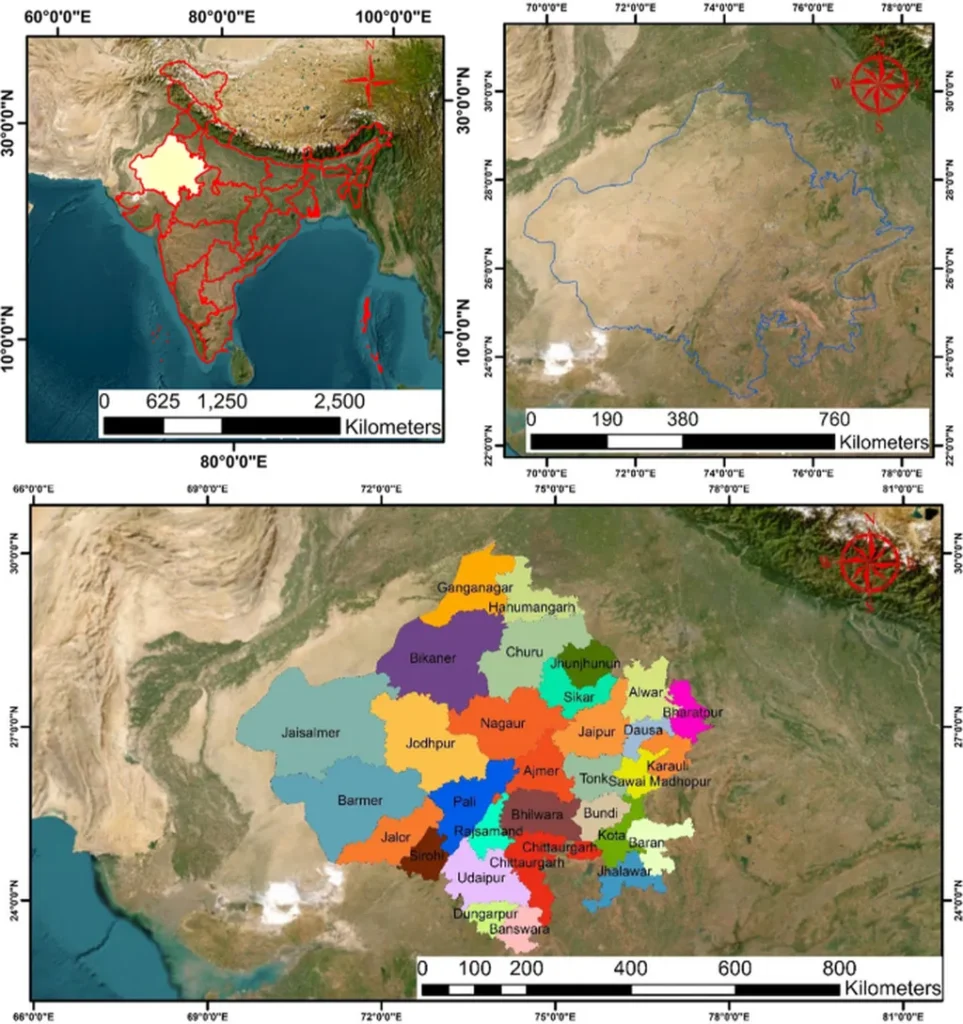
The study, published in the ‘ISPRS Annals of the Photogrammetry, Remote Sensing and Spatial Information Sciences’ (Annals of the Photogrammetry, Remote Sensing and Spatial Information Sciences), focuses on the Udaipur Development Authority (UDA) region. It reveals that over 140 development sites have been mapped, with construction occurring from the foothill zones to slopes steeper than 20 degrees and elevations exceeding 700 meters above sea level. This alarming trend is a direct result of the current hill policy’s lack of transparent, objective, and verifiable criteria for delineating ‘no construction’ zones.
Jalan and his team have developed a robust geospatial workflow that could change the game. By leveraging openly available Digital Elevation Models (DEMs) like SRTM v 3.0, FABDEM v 1-2, and ALOS PALSAR, they have ascertained the vertical accuracy of these models using visual analytics and error metrics. The study found that FABDEM provided the highest vertical accuracy in the hilly area, making it an invaluable tool for conservation efforts.
The proposed workflow involves overlaying slope, elevation, and contour maps generated from FABDEM to effectively delineate the Hill Top Hill Slope (HTHS) region and identify terrain characteristics of existing constructed sites. This method allows for informed decision-making on proposals for new development by overlaying cadastral boundaries or coordinates of proposed sites on the HTHS map.
The implications of this research are far-reaching, not just for conservation but also for the energy sector. As urban development encroaches on natural landscapes, the need for sustainable energy solutions becomes ever more pressing. By providing a clear, objective method for delineating ‘no construction’ zones, this research could help preserve vital ecosystems and promote the development of renewable energy sources.
“The suggested geospatial workflow can aid in framing and enforcing an effective hill policy for conservation of hills,” Jalan stated, highlighting the potential impact of the study. This innovative approach could serve as a model for other regions grappling with similar challenges, paving the way for a more sustainable future.
As we grapple with the realities of climate change and urbanization, research like Jalan’s offers a beacon of hope. By harnessing the power of geospatial technology, we can strike a balance between development and conservation, ensuring that our hills and other natural landscapes remain intact for future generations. The energy sector, in particular, stands to benefit from this approach, as it aligns with the growing demand for sustainable and renewable energy sources.