In the ever-evolving landscape of topographic surveying, a groundbreaking study led by Aqeel A. Abdulhassan from the Department of Civil Engineering at Wasit University in Iraq is set to redefine how we map and monitor large, hard-to-reach areas. Published in the *Journal of Applied Engineering and Technological Science* (known in English as the *Journal of Applied Engineering and Technological Science*), this research integrates drone imagery with high-precision Global Navigation Satellite System (GNSS) data, offering a cost-effective and efficient alternative to traditional surveying methods.
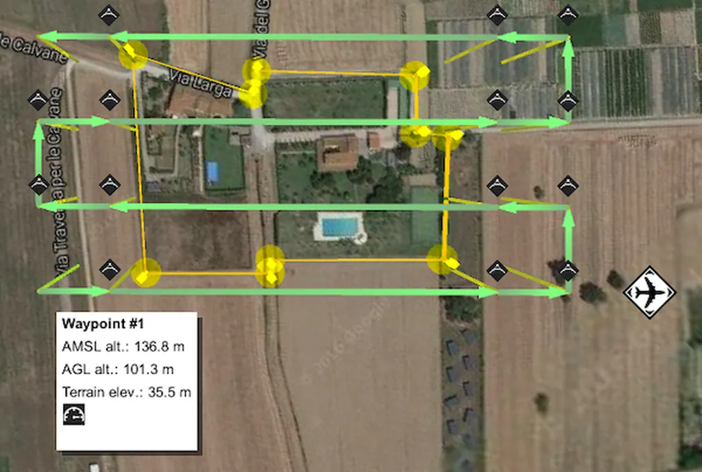
Traditional topographic surveying methods, often relying on total stations and GPS ground surveys or aerial photogrammetry from planes and helicopters, can be prohibitively expensive and time-consuming, especially in vast or inaccessible terrains. Abdulhassan’s study introduces a novel approach using Unmanned Aerial Vehicles (UAVs), commonly known as drones, to capture high-resolution aerial imagery. The research team employed a DJI Mavic 2 Pro quadcopter drone, equipped with a 20-megapixel digital camera, to photograph the Wasit University campus from an altitude of 125 meters. The captured images covered an area of approximately 0.43 square kilometers, with an 80% front overlap and a 70% side overlap, ensuring comprehensive coverage.
The images were then processed using Agisoft PhotoScan Professional to generate an orthomosaic—a detailed, seamless mosaic of aerial photographs corrected for lens distortion, topographic relief, and camera tilt. This orthomosaic was subsequently loaded into ArcMap, a geographic information system (GIS) software, to extract topographic features. To ensure accuracy, the team compared the coordinates of fourteen Ground Control Points (GCPs) obtained using the Real Time Kinematic Global Navigation Satellite System (RTK-GNSS) mechanism. The results were impressive, achieving a reference positional precision of 0.050 meters Root Mean Square Error (RMSE).
“This study demonstrates that UAVs, when augmented with GCPs, can produce and update comprehensive maps with accuracy comparable to traditional RTK-GNSS and Total Station methodologies,” Abdulhassan explained. “The integration of drone imagery with high-precision GNSS data not only reduces costs but also significantly speeds up the data collection process, making it an ideal solution for large-scale topographic mapping.”
The implications of this research are far-reaching, particularly for the energy sector. Accurate and up-to-date topographic maps are crucial for site selection, infrastructure planning, and environmental impact assessments. The ability to quickly and cost-effectively survey large areas can streamline project timelines and reduce operational costs, ultimately benefiting energy companies and other industries reliant on precise geographic data.
As the energy sector continues to expand into remote and challenging terrains, the adoption of UAV-based surveying methods could become a game-changer. “This technology has the potential to revolutionize how we approach topographic surveying,” Abdulhassan added. “By leveraging the capabilities of drones and high-precision GNSS, we can achieve unprecedented levels of accuracy and efficiency, paving the way for more sustainable and cost-effective project management.”
The study, published in the *Journal of Applied Engineering and Technological Science*, underscores the transformative potential of integrating advanced technologies in traditional surveying practices. As the energy sector and other industries increasingly seek innovative solutions to overcome logistical and financial challenges, this research offers a promising path forward. The future of topographic surveying is here, and it is taking flight on the wings of drones.