In the heart of Italy, a groundbreaking initiative is reshaping how we understand and interact with our urban and heritage environments. Dr. Francesco Matrone, a researcher at the Politecnico di Torino, has spearheaded the creation of two comprehensive datasets that promise to revolutionize semantic segmentation of 3D point clouds. Published in ‘The International Archives of the Photogrammetry, Remote Sensing and Spatial Information Sciences’ (known in English as the International Archives of Photogrammetry, Remote Sensing and Spatial Information Sciences), this research is set to advance intelligent urban analysis and cultural heritage documentation.
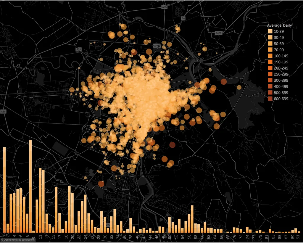
The 3M (Mapping Mappano Municipality) dataset and the ArCHX (Architectural Cultural Heritage eXpanded) dataset are designed to bridge the gap between urban and architectural heritage environments. The 3M dataset, covering an 11.9 km² area near Turin, offers a highly accurate, semantically labelled urban point cloud comprising nearly 900 million points. This dataset is a goldmine for urban planners, infrastructure designers, and anyone involved in automatic mapping.
Meanwhile, the ArCHX dataset extends the existing ArCH benchmark with new scenes from Portuguese masonry gates and Indian Nagara-style temples, adding over 400 million points. This diversification enhances the generalisation capacity of AI models, making them more adept at handling the complexities of heritage semantic segmentation.
Dr. Matrone explains, “The challenge was to harmonise class taxonomies and manage heterogeneous materials while aligning cultural architectural semantics across datasets. This cross-domain learning approach is crucial for advancing data-driven research in digital twins, mapping, Historic Building Information Modelling (HBIM), and AI-assisted heritage documentation.”
The implications for the energy sector are profound. Accurate 3D semantic segmentation can streamline infrastructure design, optimize energy-efficient urban planning, and enhance the documentation of historic sites, ensuring their preservation for future generations. As cities become smarter and more interconnected, the ability to analyze and understand urban environments with precision becomes increasingly vital.
This research not only sets a new standard for benchmarking in 3D semantic segmentation but also paves the way for innovative applications in various industries. The energy sector, in particular, stands to benefit from more efficient and accurate mapping and documentation processes, ultimately leading to more sustainable and intelligent urban development.
As Dr. Matrone puts it, “Our goal is to provide a robust foundation for cross-domain benchmarking, enabling researchers and practitioners to push the boundaries of what’s possible in digital twins, mapping, and heritage documentation.”
In a world where technology and heritage intersect, this research is a beacon of progress, illuminating the path towards a future where our urban and cultural landscapes are understood and preserved with unprecedented accuracy and insight.