In the rugged landscapes of Ukraine’s Carpathian Mountains, the construction and maintenance of roads present unique challenges, particularly due to the active landslide processes that threaten the stability of these vital transport links. A recent study published in the journal *Дороги і мости* (translated as “Roads and Bridges”) sheds light on these challenges, offering insights that could significantly impact the energy sector’s infrastructure projects in similar terrains.
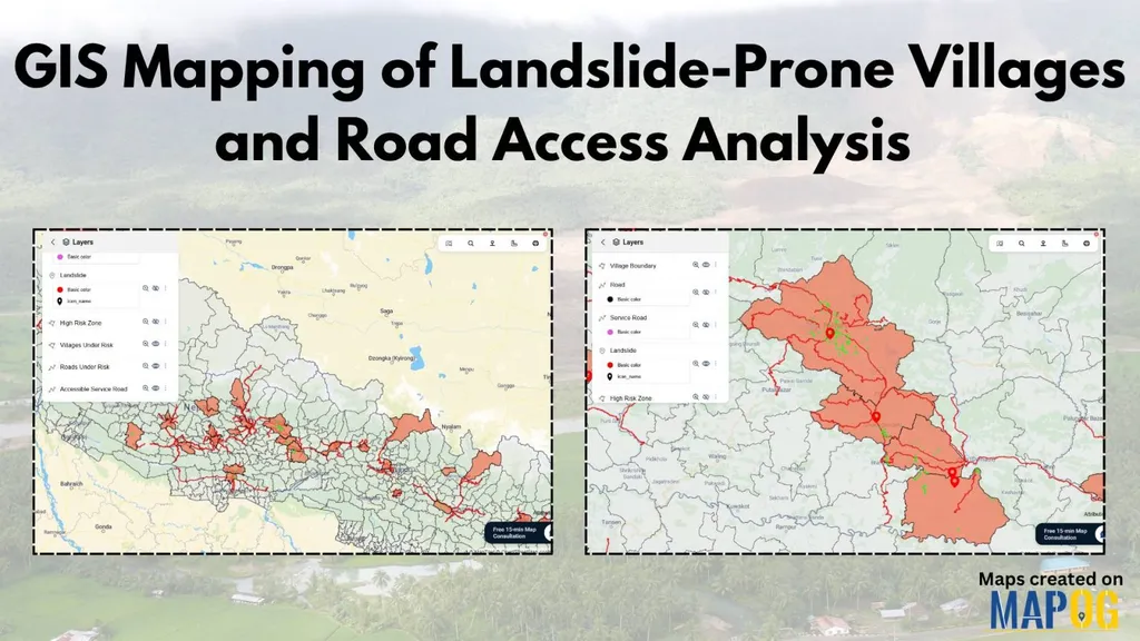
Dmytro Kasiianchuk, a researcher from Ivano-Frankivsk National Technical University of Oil and Gas, led the study that utilized Geographic Information Systems (GIS) to analyze the spatial relationship between landslides and roads in the Verkhovyna and Kosiv districts of the Ivano-Frankivsk region. The research aimed to categorize landslides based on their vertical position relative to the roads and assess their potential impact on road infrastructure.
The study revealed that out of 467 landslides analyzed, three distinct groups were identified: landslides below the road, at road level, and above the road. “The most dangerous landslides are those above the road,” Kasiianchuk explained. “They can block transport routes, causing significant disruptions and economic losses.” Landslides below the road, while less immediately dangerous, can lead to slope erosion and undercutting, compromising the stability of the slopes over time. Those at road level often manifest as cracks or subsidence of the road surface, indicating deformations on old landslide bodies.
The commercial implications of this research are substantial, particularly for the energy sector. Roads in mountainous regions often serve as critical access routes for energy infrastructure, including pipelines, power lines, and transportation of fuel and equipment. Understanding the spatial dynamics of landslides can help energy companies mitigate risks, plan more effectively, and reduce the potential for costly disruptions.
“Systematic GIS monitoring is recommended for infrastructure management,” Kasiianchuk suggested. This proactive approach could revolutionize how energy companies assess and manage risks in mountainous terrains, leading to more resilient and cost-effective infrastructure projects.
The study’s findings underscore the importance of integrating advanced geospatial technologies into the planning and maintenance of road networks in high-risk areas. As the energy sector continues to expand into challenging terrains, the insights from this research could shape future developments, ensuring safer and more sustainable infrastructure projects.
By leveraging GIS technology, energy companies can better anticipate and manage landslide risks, ultimately safeguarding their investments and ensuring the uninterrupted flow of energy resources. The research published in *Дороги і мости* not only highlights the critical role of geospatial analysis in infrastructure management but also paves the way for innovative solutions that could redefine the future of energy sector projects in mountainous regions.