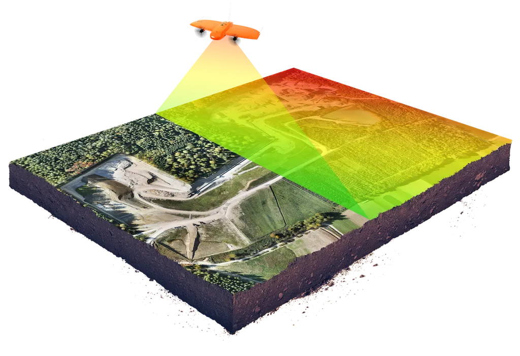
In the heart of Mexico’s industrial powerhouse, Nuevo León, a groundbreaking study is reshaping how civil infrastructure is monitored and maintained, with significant implications for the energy sector. Researchers from the Department of Geomatics at the Universidad Autónoma de Nuevo León, led by F. D. Yépez Rincón, have harnessed the power of Terrestrial Laser Scanning (TLS), a sophisticated form of Light Detection and Ranging (LiDAR) technology, to inspect and document the condition of critical infrastructure along the region’s urban rivers.
The Monterrey Metropolitan Area, a hub of industrial and economic activity, is traversed by three main rivers: Pesquería, La Silla, and Santa Catarina. These waterways are not only vital for the region’s ecology but also support essential infrastructure that underpins the local economy, including energy facilities. However, these structures often face dynamic and hazard-prone environments, making regular and accurate inspections crucial.
Yépez Rincón and his team employed TLS to create dense 3D point clouds with high spatial accuracy, enabling detailed volumetric analysis and topographic characterization. “This technology allows us to capture intricate details of the structures, which is essential for assessing their integrity and identifying elements that require maintenance or removal,” Yépez Rincón explained.
The study began with an initial analysis using photographic datasets compared with Google Street View and Google Earth Pro imagery to geolocate and detect visible changes. Based on this preliminary assessment, 5 to 6 structures per river were selected for detailed surveys using TLS equipment. The resulting data were processed to create detailed plans and 3D models of each structure, providing a comprehensive understanding of their condition.
The technical files completed as part of this study document structural characteristics, condition assessments, repair proposals, and risk and accessibility analyses. This methodology not only supports structural health monitoring (SHM) but also offers valuable insights for hydrological and hydraulic modeling, enhancing resilience assessments, and guiding urban planning, construction strategies, and civil protection efforts.
For the energy sector, the implications are significant. Accurate and timely inspections of infrastructure can prevent costly failures, ensure regulatory compliance, and enhance safety. The detailed 3D models and condition assessments can inform maintenance schedules, repair strategies, and long-term planning, ultimately reducing downtime and improving operational efficiency.
Yépez Rincón emphasized the need for multidisciplinary expertise, including engineering, geospatial analysis, and urban planning, to support evidence-based public policy. This collaborative approach ensures that the insights gained from TLS technology are translated into actionable strategies that benefit both the public and private sectors.
The study, published in the ‘ISPRS Annals of the Photogrammetry, Remote Sensing and Spatial Information Sciences’ (Annals of the International Society for Photogrammetry and Remote Sensing), highlights the transformative potential of TLS technology in civil infrastructure management. As the energy sector continues to evolve, the integration of advanced geospatial technologies like TLS will play a pivotal role in ensuring the resilience and sustainability of critical infrastructure.
This research not only sets a new standard for infrastructure inspections but also paves the way for future developments in the field. By leveraging cutting-edge technology and multidisciplinary expertise, the energy sector can enhance its operational capabilities, mitigate risks, and contribute to the overall resilience of urban environments. As Yépez Rincón noted, “The future of infrastructure management lies in our ability to adapt and innovate, using technology to create safer, more sustainable communities.”