In a groundbreaking study that could reshape how we understand and prepare for coastal disasters, researchers have uncovered significant spatial correlations in compound flooding events along the U.S. coastline. Led by H. Li of the Institute for Environmental Studies (IVM) at Vrije Universiteit Amsterdam, the research, published in the journal ‘Natural Hazards and Earth System Sciences’ (translated to English as ‘Natural Hazards and Earth System Sciences’), sheds light on the interconnected nature of coastal and river flooding, offering crucial insights for industries, particularly the energy sector, that are vulnerable to these compound events.
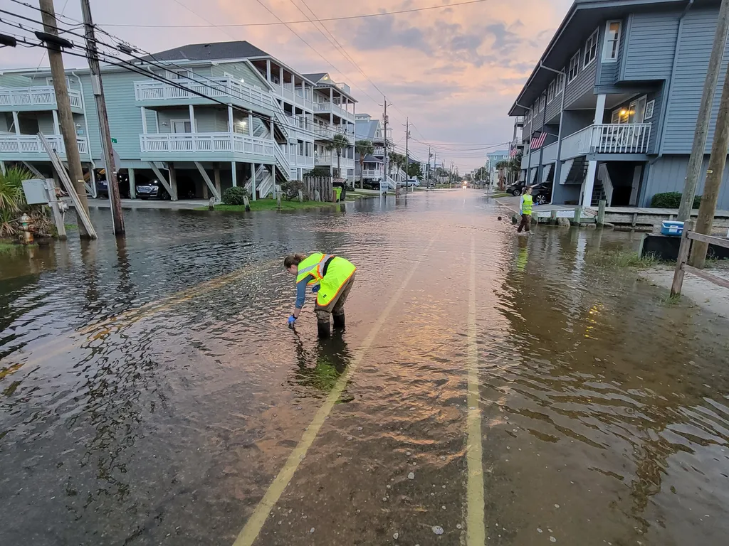
Compound flooding occurs when coastal and river floods happen concurrently or in close succession, leading to more severe impacts than either event alone. Li and their team analyzed 41 years of observed data from 41 station combinations, simulating 10,000 years of spatially-joint events of extreme sea levels and river discharge. Their findings reveal that the West Coast exhibits the highest spatial correlation of potential compound flooding, with around 50% of compound events affecting multiple locations simultaneously.
“This means that when one area experiences a compound flood, neighboring areas are also likely to be impacted,” Li explained. “This spatial dependence is crucial for understanding and mitigating the risks associated with these events.”
The study identified two clusters on the West Coast with high joint occurrence rates of simultaneous compound events: Charleston, Crescent City, and North Spit; and Santa Monica, Los Angeles, and La Jolla. These findings have significant implications for the energy sector, which often has critical infrastructure located in coastal areas. Understanding the spatial correlation of compound flooding can help energy companies better assess risks, plan for contingencies, and mitigate potential damages.
On the East Coast, widespread compound events are less frequent, with approximately 30% of potential compound flooding affecting multiple locations. The Gulf Coast shows the weakest spatial correlation, where over 82% of compound events only affect single locations. However, the study emphasizes that even in regions with weaker spatial dependence, the occurrence of compound flooding can still have substantial impacts.
“The energy sector, in particular, needs to be aware of these spatial correlations,” said Li. “By incorporating this information into their risk assessments, they can make more informed decisions about where to locate infrastructure and how to prepare for potential disasters.”
The research highlights the importance of accounting for spatial dependence in compound flood assessments. The large set of stochastic spatially-joint events generated by the study can be used as boundary conditions for hydrologic-hydraulic models to simulate surface inundation and further assess the risks of compound flooding in low-lying coastal and estuarine areas.
As the energy sector continues to expand and develop in coastal regions, the insights provided by this study become increasingly valuable. By understanding the spatial correlation of compound flooding, companies can better protect their assets, ensure the safety of their operations, and contribute to the overall resilience of coastal communities.
In the broader context, this research underscores the need for a more integrated approach to flood risk management. As climate change continues to exacerbate the frequency and severity of extreme weather events, the ability to predict and prepare for compound flooding will be crucial. The findings of this study not only advance our scientific understanding but also provide practical tools for industries and communities to build resilience in the face of growing threats.